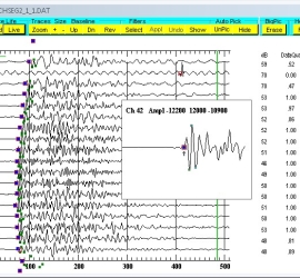
GeoTomCG 3-D tomographic
GeoTomCG can process and display 2-D and 3-D crosshole or VSP seismic or radar data. S and R indicate source and receiver positions, respectively. The crosshatch pattern indicates areas with few raypaths. The investigators reported that the seismic velocities were consistent with results obtained by other geophysical methods.